
Managing Stormwater
In undeveloped areas, nature manages rainfall. Water is captured by vegetation, infiltrates into the ground, or flows into creeks, rivers, and other bodies of water.
In developed areas, rain turns into stormwater runoff, which must be managed to some degree depending on a variety of legal requirements and functional goals (for example, ensuring roads are safe).
Stormwater Management Infrastructure
The infrastructure to manage stormwater runoff can generally be classified into three categories:
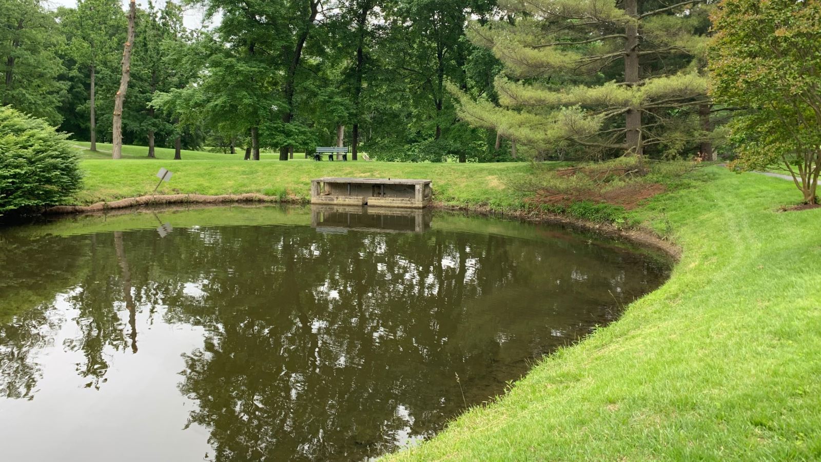
Infrastructure to protect water quality
Maryland and Montgomery County have extensive requirements that must be met when development (or redevelopment) occurs to minimize pollutants from being carried into waterways and degrading water quality. As noted in the introduction to the State’s Stormwater Design Manual, the program designed by the State, and implemented at the local level, “concentrated primarily on controlling runoff increases and mitigating water quality degradation associated with new development.”
As discussed on the Stormwater Management website of the Maryland Department of the Environment (MDE), the current strategy for stormwater management to protect water quality is known as Environmental Site Design (ESD). ESD relies on “integrating site design and smaller controls to capture and treat runoff closer to, or at the source, to more closely mimic natural hydrology.” More information about the types of ESD practices commonly used can be found on the MDE website about stormwater best management practices (BMPs). While effective in minimizing pollution from entering waterways in smaller storms, these practices have limited ability to store water and are therefore not effective in controlling the significant runoff that occurs during large storm events that lead to flooding. Current State standards emphasize localized storage and/or infiltration of small volumes of stormwater from frequently occurring storm events (generally, the flow over a 24-hour period during a 1-year storm).
Drainage infrastructure
The primary function of drainage infrastructure is to prevent runoff from pooling on roads, parking lots, and other impervious surfaces. Impervious surfaces are areas of concrete, asphalt, rooftops, or other material that prevent water from infiltrating into the ground.
Drainage infrastructure typically consists of a connected network of curbs, gutters, surface swales and ditches, and pipes, along with inlet structures that allow runoff to enter the drainage network and outlets that discharge the collected water into waterways. Water quality controls can be integrated into the drainage network to minimize pollutant transport, but often the drainage network discharges directly into streams and rivers.
Due to a variety of considerations, including cost, drainage infrastructure is designed to be able to manage a certain quantity of water, most commonly the flow expected over 24 hours during a 10-year storm. Larger storm events can result in runoff that exceeds the capacity of drainage infrastructure, preventing water from entering the drainage network or, in extreme cases, resulting in water being discharged out of the network and flowing onto the adjacent land.
Flood control infrastructure
Flood control infrastructure is designed to control, convey, or store large amounts of water, often the amount of runoff expected to result from a 100-year storm. Flood control infrastructure may include a variety of above ground or below ground facilities, including dams, levees, channels, pump stations, and other “gray”, or engineered, infrastructure. Natural systems, often referred to as “green” infrastructure, include restoring natural floodplains; creating or maintaining forests, wetlands, and marshes; and other nature-based practices. While both engineered and natural flood control measures can be effective approaches to flood control, these systems are designed to reduce flooding based on specific design criteria and may not provide protection in larger storm events.
Significant space is required to implement flood control measures due to the volume of water they are designed to manage. As a result, it may be technically or financially infeasible to implement flooding infrastructure in highly developed areas.
Types of Flooding
Coastal communities face flood threats from storm surges, high tides, and sea level rise. Montgomery County does not border any tidal waters, so these causes of flooding are not a risk. There are two types of flooding in Montgomery County.
Fluvial Flooding
Fluvial flooding, more commonly referred to as riverine flooding, occurs when the flow of water in stream, river, or other waterway exceeds the capacity of the waterway’s natural channel. The excess water overflows the banks of the channel, spilling out onto adjacent land.
Prior to development occurring along the waterway, the excess water would have flowed onto a floodplain. As development encroaches on a floodplain, the natural areas that would accommodate excess water during flooding are compromised. As a result, flood control measures may need to be implemented.
Riverine floodplains in the County are subject to regulations that control development activity. More information on the regulations governing development in floodplains can be found on the Department of Permitting Services website.
Pluvial Flooding
Pluvial flooding, more commonly referred to as urban or surface flooding, occurs when the intensity of rainfall exceeds the capacity of the land to infiltrate the water, or when the stormwater management infrastructure designed to convey water cannot accommodate the volume of water it receives. Unlike riverine flooding, which by definition only occurs in the vicinity of streams, rivers, and other waterways, pluvial flooding can occur anywhere if the rainfall is intense enough.
Surface floodwater flows “downhill,” following the contour of the land across which it flows. The flow pattern may be altered by natural or man-made “obstructions” including trees and other vegetation, buildings, roadways, and any other objects that are stable enough to divert the flow.
The likelihood that Montgomery County experiences either of these types of flooding depends on the location, amount, and duration of rain events. The section Understanding Flood Risk provides background on the information available to, or being developed by, the County to understand where the risk of flooding may be the greatest.