
Understanding Flood Risk
Understanding which parts of the County are most at risk of flooding is critical to reducing that risk. This information can help residents, businesses, and County personnel prepare for flood events that might occur in the future, respond to flooding as it occurs, and more quickly and effectively recover from flood events after floodwaters have receded.
Flood Modeling
Areas throughout the County have been subject to flooding in the past. We know that these areas will likely be subject to future flooding under certain conditions. However, those conditions are not well understood. For example, what intensity and duration of precipitation will lead to flooding in these areas?
Furthermore, are there areas in the County that could be subject to flooding under certain conditions, but that perhaps haven’t experienced a storm of an intensity that would cause flooding to occur? Or perhaps such storms occurred long ago when the area was different than it is today (or might be in the future) and the harm that floodwaters caused was minimal. In either case, it will be helpful to understand more about these areas as well.
Flood modeling can provide information that helps answer these questions. Flood modeling involves sophisticated computer models that utilize a variety of data to forecast where flooding might occur during specific storm events.
As flood modeling tools get more robust, and enhanced computing power allows the incorporation of extensive amounts of data into the modeling process, modeling is being widely used by various entities, including:
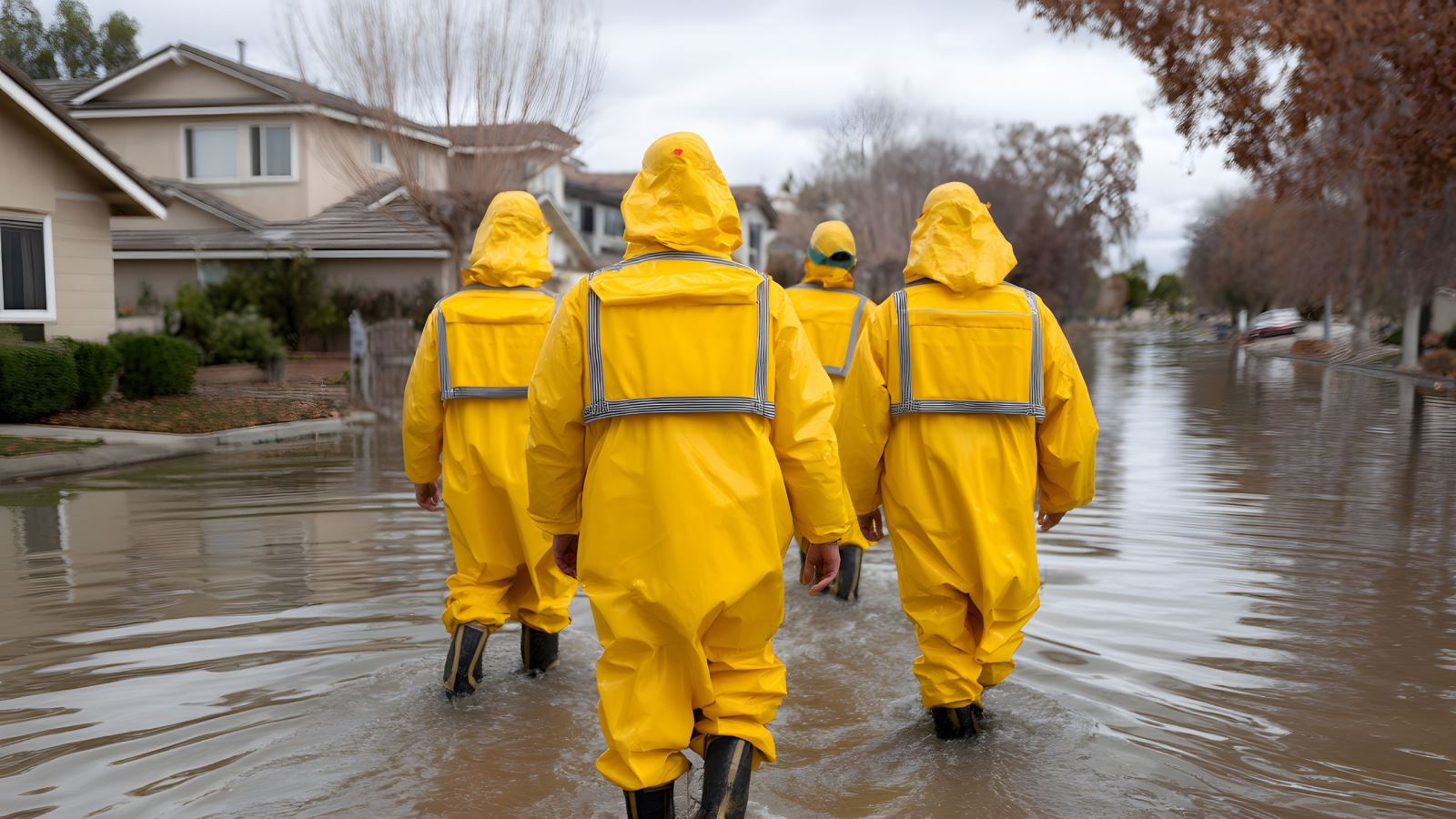
- Emergency management agencies, in conjunction with first responders, to determine how to locate flood measurement and reporting devices, target warning systems, and deploy assets ahead of storm events
- Planning and permitting entities to help shape the type, location, and characteristics of future development
- Transportation and utility system planners and operators to understand network assets that may be at risk and plan for future system growth
- Real estate and insurance companies to evaluate potential risks to properties from flooding (and steps being taken to reduce that risk)
Types of Flood Modeling
Although flood modeling is quite complex, it can broadly be characterized by two different methods.
The first method models how water flows in one dimension along a defined path like a river or stream channel, or within a pipe network. This is commonly referred to one-dimensional or 1-D, modeling. An example of this type of modeling is that often done by the Federal Emergency Management Agency (FEMA) to define what are commonly known as "FEMA floodplains." FEMA's modeling identifies areas of rivers and streams above a certain size expected to flood during 100-year and 500-year rain events. Development is strictly regulated in the “100-year FEMA floodplain” called the Special Flood Hazard Area (SFHA). In addition, properties located in the 100-year FEMA floodplain must have flood insurance if they are subject to a mortgage backed by the federal government. A map showing the latest results of FEMA’s modeling of Montgomery County is available on the Department of Permitting Services website. This map is still subject to final approval by FEMA following a public comment period that concluded in April 2025.
The second method of modeling shows how water flows in two dimensions over the surface of the land, including how it is affected by natural and manmade features that alter how the waters flow. This is commonly referred to as two-dimensional, or 2-D, modeling. This type of modeling can provide insight into how water flows across properties, roads, and other features as it moves “downhill” towards natural water bodies like streams and rivers.
Each of these modeling methods has advantages and disadvantages that make them suitable for use in certain applications. But integrating the results of these two modeling approaches provides the best understanding of the flood risk that might be present in the modeled area under rain events of a certain intensity and duration. This allows, for example, a better understanding of how a storm drain system (a 1-D system) alters the flow of water across the surface of the land (a 2-D system). This alteration may minimize or contribute to flooding depending on the characteristics of the rain event, the size and condition of the storm drain system, and a variety of other factors.
Data Used in Flood Modeling
A variety of data are used in flood modeling. As with any type of model, the quality and completeness of the data determines the accuracy of the model. Data used in the County’s flood modeling includes:
- Topographic information – Changes in land elevation across the modeled area
- Built infrastructure – Buildings, roads, and other manmade features that may affect, or be affected by, how stormwater flows
- Storm drain infrastructure – Above ground and below ground features (pipes, inlets and outlets, ditches and swales, etc.) intended to collect and carry stormwater, as well as stormwater management features that may store stormwater
- Precipitation – Projected rainfall during modeled storm events