
See more in Projects
Elections - Voter Registration Support
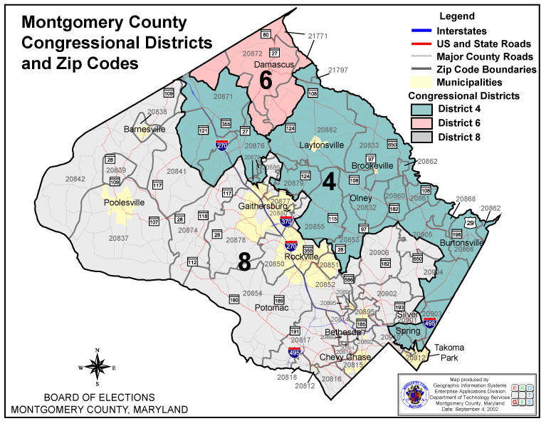 The Montgomery County, Maryland Department of Technology and Enterprise Business Solutions - Geographic Information Systems (TEBS-GIS) team provides the Montgomery County Board of Elections with the voter registration GIS support services including hard-copy and web-based maps in addition to street and address validation services. Street and address validation services are necessary to validate voter registration, and election district, precinct, and polling place assignments for each registered voter in Montgomery County, Maryland. Election district and precinct maps and posters are provided by TEBS-GIS to facilitate BOE planning, analysis, and public presentations. Maps created for BOE generally include roads and municipality boundaries in addition to election district, precinct, or polling place depending on the type of map requested. TEBS-GIS also provides technical assistance to BOE for the various political and administrative boundary realignment, precinct splits, and locating polling places.