Landowner Access Permission for Stream Monitoring
What data do we collect?
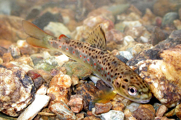
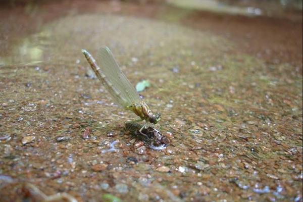
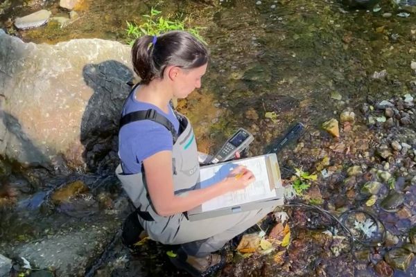
Department of Environmental Protection biologists collect fish, stream bugs, and other water quality data to determine stream health. Information collected in this survey, such as the number and type of stream bugs and fish found, will be used to gauge the health of our streams and determine whether conditions are declining or improving.
When and how do we collect the data?
DEP’s crews are highly trained, courteous, and willing to share their knowledge of Montgomery County streams with you. Crews will visit the site up to four times a year:- March – April: Collect stream bugs, measure water quality and habitat (2 biologists, 1.5 hours)
- May: Deploy water temperature sensor (2 biologists, 1 hour)
- June – September (for larger streams only): Survey fish, measure water quality and habitat (5-6 biologists, 4 hours)
- September – October: Remove water temperature sensor (2 biologists, 1 hour)
Where do we collect the data?
Sites are randomly selected from each watershed in the county using an automated computer program.
What is the landowner's liability?
DEP staff are covered by county insurance and landowners who give permission for crews to enter their properties to access and /or sample streams will not be held liable for any injuries suffered by field crew members while on their properties.
How can I get a copy of the data?
Data requests will be granted to any landowner who asks after the data has been entered and reviewed for accuracy. If you have an urgent need for the data, we can expedite the process upon written request. For data requests, contact Mark Rockman at [email protected] or (240) 832-3605.
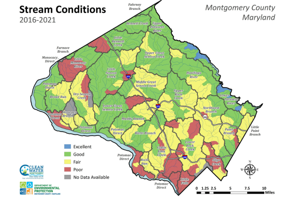
Stream Conditions Map 2016-2021