Streetery Update as of February 2024
Four “Streeteries” were created in the spring of 2020 by Montgomery County as a temporary concept to support businesses struggling from the economic impacts of COVID-19 and allow residents to gather freely on public streets. The spaces were reevaluated in late summer of 2022 with some closing altogether, some becoming seasonal and others taking on more permanent changes.
The County worked with communities around each location to establish a long-term plan for each space. Streeteries have continued in some fashion, although some changed their concept.
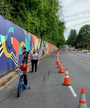
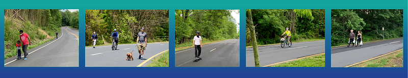
The closed streets have allowed residents and businesses to use public spaces for in-street activities such as biking, walking, outdoor dining and retail activity. Management of the spaces and collection of community feedback has been led by the County’s respective Regional Service Centers (RSCs). These spaces are reassessed regularly for need, use and to address any issues.
Newell Street, Silver Spring
Newell Street was closed off during the pandemic but reopened to cars after Labor Day, 2022. The space may be closed off to vehicular traffic for specific, scheduled public events throughout the year.
Price Avenue, Wheaton
Price Avenue remains in operation as a Streetery. The Mid-County RSC has indicated that it is looking to expand the Streetery to be more inclusive of bicyclists and walkers. Community meetings held by hte local Regional Services Center led to updates to better accommodate pedestrian traffic.
Norfolk Avenue, Bethesda
Norfolk Avenue remains in operation as a Streetery, and closed to vehicles on a seasonal basis, closing during the winter months.
Woodmont Avenue, Bethesda
The Woodmont Avenue Streetery was reorganized during construction of the long-planned Woodmont Avenue Cycle Track. The protected bike lane project was completed in fall of 2022. While two lanes of traffic, one in each direction, are open in the center of the roadway, planters have been placed to define the extended gathering space long-term.
The Bethesda-Chevy Chase Regional Services Center has been involved in collecting community feedback on an ongoing basis from residents and businesses for both of hte Bethesda Streeteries.
“The Streeteries have provided a practical solution to a pandemic-related problem,” said County Executive Marc Elrich. “They served as much-needed gathering spaces during the pandemic and provided a creative solution. Now as the situation has changed, we worked with the community in each area to decide how these spaces will continue to operate. The Streeteries showed new possibilities and I would like to see how we might continue some form of these activities as we move beyond just trying to accommodate the activities within the constraints of the pandemic.”
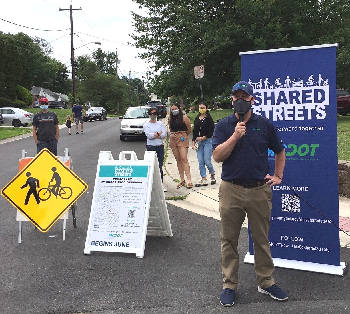
Message from MCDOT Director Chris Conklin
"Safe and accessible public spaces are a critical aspect of community health and vibrancy. MCDOT understands that our public rights of way are a key resource for residents and businesses and that the best use of those spaces may shift under changing circumstances. In response to the COVID-19 health crisis, I directed our planners and engineers to think creatively about how we can adjust the use of our streets, sidewalks, and parking facilities to best serve public needs."